A tornado is formed when a rotating body of air, also known
as a vortex tube, forms due to an increased wind speed due to altitude
(vertical wind shear). This vortex tube is then lifted off of the ground by the
thunderstorm’s updraft. Once the air mass is lifted nearly vertically, it is
called a mesocyclone. Finally, the fully developed tornado descends from the
lower part of the “wall cloud”.
In the United States, most tornados usually travel southwest
to northeast or west to east. Tornados usually travel this path because there
is a lot of moisture. These areas tend to be largely agricultural
(unfortunately). The dryline also helps initiate tornadoes.
Tornadoes can happen in any country that meets the criteria
for tornado formation. This includes having abundant low-level moisture,
atmospheric instability, and a trigger i.e. a cold front, etc. that lifts the
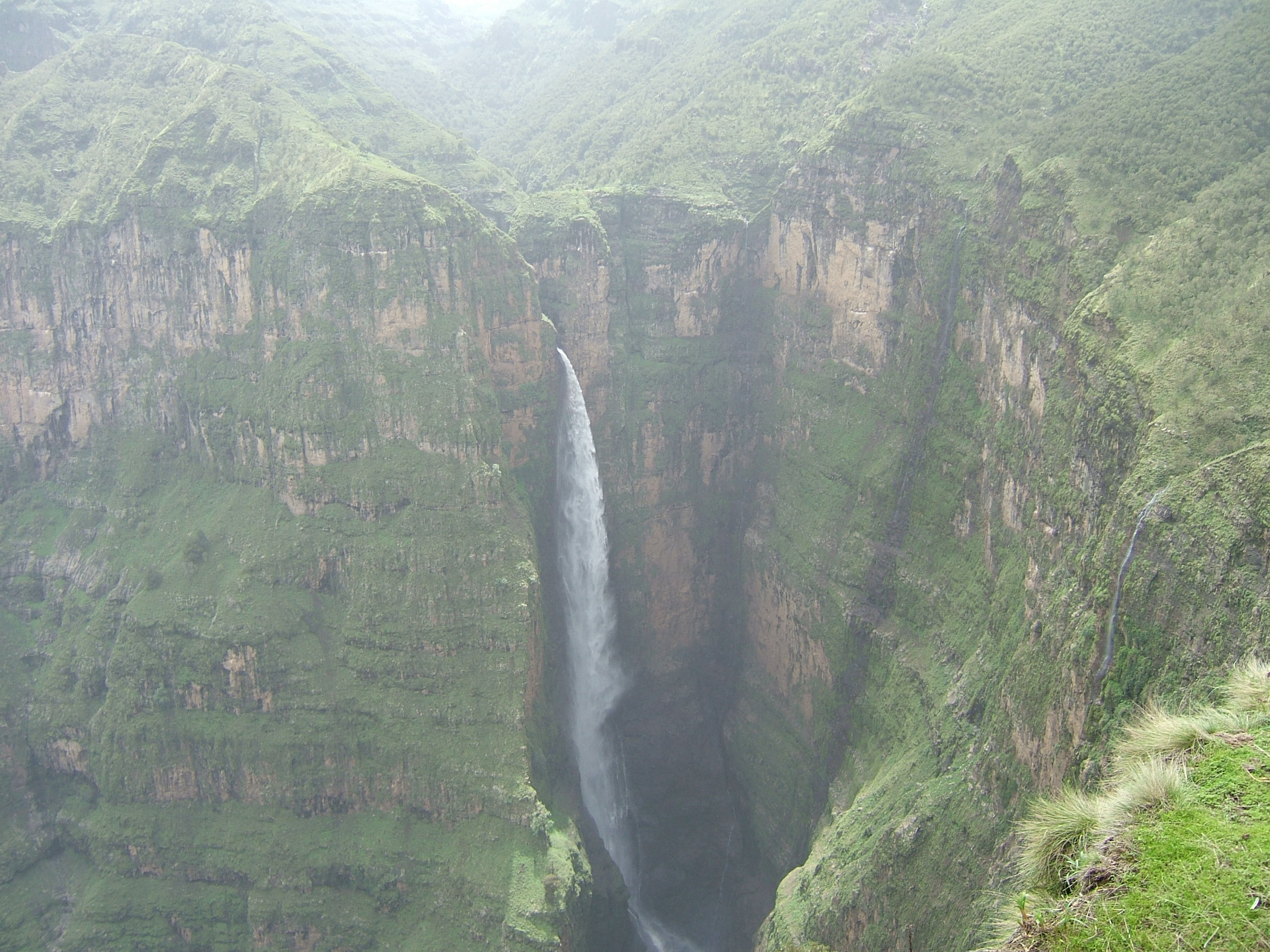
moist air aloft. That being said, Ethiopia can experience tornados as it is
close to the eastern coastal area. However, they probably do not last very long
as the terrain can be mountainous, especially the capital city. The average
number of tornados observed in the US each year is over 1 thousand (http://www.ncdc.noaa.gov/climate-information/extreme-events/us-tornado-climatology).
Unfortunately, I couldn’t find a website that provided any information on the
average number of tornadoes that occur yearly in Ethiopia.

Source: http://www.windows2universe.org/earth/Atmosphere/tornado/agri_map.html
At first, I didn’t know what to think when I saw that graph
as it made sense to me that the number of tornadoes could’ve increased due to
global warming, however after reading an article that I found online (http://notalotofpeopleknowthat.wordpress.com/2012/01/05/us-tornado-trendsupdated-to-2011/),
it made perfect sense that the “increase” was due to the advancement in
technology. Today’s technology makes it easier to monitor and count the number
of tornado occurences.
There are three requirements for a hurricane to form. This
includes a warm ocean temperature (needed for evaporation), a deep, warm ocean
layer, and a coriolis (to initiate spinning). Hurricanes are called hurricanes
in the Atlantic and East Pacific regions. It is called a cyclone in the areas
of the Indian Ocean near Australia and a typhoon off the coast of China and
Indonesia. In the United States, hurricanes travel the warm Gulf Stream and is
steered by the west to east flow of the Westerlies and the Jet Stream. This is
the dominant direction of hurricane travels because it has the requirements
needed to form a hurricane. The Gulf of Mexico has the warm ocean temperature,
deep, warm ocean layer, and the coriolis which is the dryline.

Source: http://www.learnnc.org/lp/editions/nchist-recent/6248
According to the
hurricane map, hurricanes do not form in Ethiopia, however it is said that
hurricane Sandy could have possibly started in the Ethiopian Highlands. In the U.S, there is an average of 5 hurricanes per every 3 years. That comes
out to approximately 1.6 hurricanes every year (http://www.ussartf.org/hurricanes.htm). There are no hurricanes
that hit Ethiopia (http://www.learnnc.org/lp/editions/nchist-recent/6248).